
Davies, John
The Red Atlas: How the Soviet Union Secretly Mapped the World
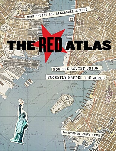
- ISBN 13:
- 9780226389578
- author:
- Davies, John
- format:
- HardBack
- publisher:
- University of Chicago Press
- language:
- English
- Publication Year:
- 2018
- Pages:
- 272
- Dimensions:
- 7.40(w) x 9.30(h) x 1.00(d)
- Genre:
- History Textbook
- Condition:
- New
- Availability:
- Item usually sent within 7 working days

Description
The Red Atlas: How the Soviet Union Secretly Mapped the World Revealing the most comprehensive mapping endeavor in history, this book explores how the Soviet government gathered and used detailed information about cities, streets, and homes around the world. From 1950 to 1990, the Soviet Army conducted a global topographic mapping program, creating large-scale maps that included surprising levels of detail. These maps, which were only recently declassified, show a remarkable level of precision, including building heights, road widths, and bridge capacities. The Red Atlas includes over 350 extracts from these incredible Cold War maps, shedding light on the cartographic techniques used and what they can tell us about their makers and the Soviet initiatives that shaped our world. By examining these maps, we gain a unique insight into the Soviet Union's military planning and technological capabilities during this period. This book is a fascinating look at a previously unknown aspect of Cold War history, and its revelations are sure to captivate anyone interested in the subject.
Related Products
Related Products

Churchill and the Soviet Union
Carlton, David

A History of the Soviet Union
Hosking, Geoffrey

Armies of the Soviet Union
Chambers, Andy/ Priestley,

Collapse: The Fall of the Soviet Union
Zubok, Vladislav M.

The Shortest History of the Soviet Union
Fitzpatrick, Sheila