
Ordnance Survey
OS Explorer OL38 Loch Lomond South (OS Explorer Map)

- ISBN 13:
- 9780319242773
- author:
- Ordnance Survey
- format:
- Map
- publisher:
- Ordnance Survey
- language:
- English
- Publication Year:
- 2015
- Pages:
- 1
- Dimensions:
- 24.2 x 5 x 13.4 cm
- Genre:
- Sports, Hobbies & Games, Fishing, Birdwatching & Other Outdoor Pursuits, Active Pursuits
- Condition:
- New
- Availability:
- Item usually sent within 2 working days

Description
The Ordnance Survey's OS Explorer Map: Loch Lomond South, Dumbarton & Helensburgh, Drymen & Cove is the perfect companion for outdoor enthusiasts. With its 1:25,000 scale and 4 cm to 1 km ratio, this map provides detailed coverage of the area, ideal for walking, horse riding, and off-road cycling.
This map also features key routes, including the West Highland Way and the West Highland Way (Long Distance Route), as well as Loch Lomond & The Trossachs National Park and Central Strathclyde. A digital version of the map is also included, allowing you to download it to your smartphone or tablet for easy access on the go.
Whether you're planning a day out or a longer expedition, this map is an essential tool for navigating the beautiful countryside of Loch Lomond South, Dumbarton & Helensburgh, Drymen & Cove.
Related Products
Related Products
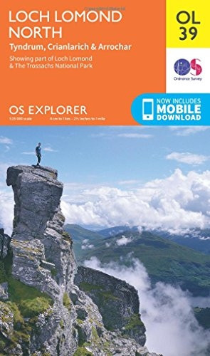
OS Explorer OL39 Loch Lomond North (OS Explorer Map)
Ordnance Survey

OS Explorer OL49 Pitlochry & Loch Tummel (OS Explorer Map)
Ordnance Survey

OS Explorer OL36 South Pembrokeshire (OS Explorer Map)
Ordnance Survey

OS Explorer OL21 South Pennines (OS Explorer Map)
Ordnance Survey

OS Explorer OL50 Ben Alder, Loch Ericht & Loch Laggan (OS Explorer Map)
Ordnance Survey