
Ordnance Survey
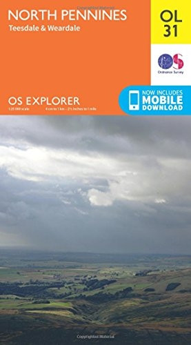
OS Explorer OL31 North Pennines - Teesdale & Weardale (OS Explorer Map)
- ISBN 13:
- 9780319242704
- author:
- Ordnance Survey
- format:
- Map
- publisher:
- Ordnance Survey
- language:
- English
- Publication Year:
- 2015
- Pages:
- 1
- Dimensions:
- 24.1 x 5.2 x 13.4 cm
- Genre:
- Sports, Hobbies & Games, Fishing, Birdwatching & Other Outdoor Pursuits, Active Pursuits
- Condition:
- New
- Availability:
- Item usually sent within 2 working days

Description
The Ordnance Survey's OS Explorer Map of North Pennines - Teesdale and Weardale is a detailed folding map ideal for outdoor enthusiasts. With its 1:25,000 scale, it provides a clear and accurate representation of the area, making it perfect for walking, horse riding, and off-road cycling.
This map features several notable routes, including the Pennine Way, Weardale Way, Teesdale Way, and South Tyne Trail. It also includes information on key locations such as Barnard Castle, Durham, and Cumbria, as well as the Pennine Way (National Trail) and E2 (European Long Distance Route).
Additionally, this map comes with a digital version, allowing you to download it to your smartphone or tablet for easy navigation and planning.
Related Products
Related Products

OS Explorer ACTIVE OL31 North Pennines - Teesdale & Weardale (OS Explorer Map Active)
Ordnance Survey

OS Explorer OL21 South Pennines (OS Explorer Map)
Ordnance Survey
OS Explorer OL39 Loch Lomond North (OS Explorer Map)
Ordnance Survey

North Pembrokeshire (OS Explorer Map)

OS Explorer Map Active (282) Lincolnshire Wolds North (OS Explorer Active Map)
Ordnance Survey