
Ordnance Survey
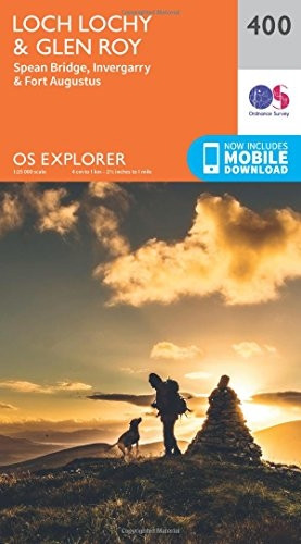
OS Explorer Map (400) Loch Lochy and Glen Roy - Spean Bridge, Invergarry and Fort Augustus
(No reviews yet)
Write a Review
- ISBN 13:
- 9780319246405
- author:
- Ordnance Survey
- format:
- Map
- publisher:
- Ordnance Survey
- language:
- English
- Publication Year:
- 2015
- Pages:
- 1
- Dimensions:
- 24.1 x 4.1 x 13.8 cm
- Genre:
- Sports, Hobbies & Games, Fishing, Birdwatching & Other Outdoor Pursuits, Active Pursuits
- Condition:
- New
- Availability:
- Item usually sent within 2 working days

Description
Explore the Scottish Highlands with this Ordnance Survey map, covering Loch Lochy and Glen Roy, Spean Bridge, Invergarry, and Fort Augustus.
Providing detailed topographic information, this map is ideal for walkers, hikers, and outdoor enthusiasts planning a trip to the region. The map features a range of scales, including 1:25,000, and includes contour lines, grid references, and other essential navigation features.
Published by the Ordnance Survey, this map is a valuable resource for anyone looking to explore the beautiful Scottish Highlands.
Related Products
Related Products

OS Explorer Map (377) Loch Etive and Glen Orchy
Ordnance Survey
£12.33
The Ordnance Survey's OS Explorer map is the most detailed and recommended for those enjoying outdoor activities such as walking, horse riding, and off-road cycling. This map provides complete...

OS Explorer Map (392) Ben Nevis and Fort William, The Mamores and The Grey Corries, Kinlochleven and Spean Bridge
Ordnance Survey
£12.33
For detailed maps of the Scottish Highlands, look no further than this Ordnance Survey map. Covering the area around Ben Nevis, Fort William, and the Mamores, this map is ideal for walkers, cyclists,...

OS Explorer Map Active (413) Knoydart, Loch Hourn and Loch Duich (OS Explorer Active Map)
Ordnance Survey
£14.87
The OS Explorer Active Map: Knoydart, Loch Hourn & Loch Duich. Kyle of Lochalsh Get the most out of your time in the countryside with this detailed folding map, ideal for outdoor activities such...

OS Explorer OL50 Ben Alder, Loch Ericht & Loch Laggan (OS Explorer Map)
Ordnance Survey
£12.11
Explore the Cairngorms National Park with this Ordnance Survey Explorer map OL 50. Covering Loch Ericht, Loch Laggan and 16 surrounding Munros, it also features part of the park's stunning landscape...

OS Explorer OL49 Pitlochry & Loch Tummel (OS Explorer Map)
Ordnance Survey
£12.33
Pitlochry & Loch Tummel, Aberfeldy, Kinloch Rannoch & Schieh OS Explorer MapFor those who love the great outdoors, this OS Explorer Map is the perfect companion for exploring the beautiful...