
Ordnance Survey
OS Explorer Map (208) Bedford and St.Neots, Sandy and Biggleswade

- ISBN 13:
- 9780319244012
- author:
- Ordnance Survey
- format:
- Map
- publisher:
- Ordnance Survey
- language:
- English
- Publication Year:
- 2015
- Pages:
- 1
- Dimensions:
- 22.7 x 4.7 x 13.5 cm
- Genre:
- Sports, Hobbies & Games, Fishing, Birdwatching & Other Outdoor Pursuits, Active Pursuits
- Condition:
- New
- Availability:
- Item usually sent within 2 working days

Description
Bedford & St Neots Map | OS Explorer Map 208 | England | Walks | Hiking | Maps | Adventure Explore the historic market towns of Bedford and St Neots, situated along the River Great Ouse. Take a circular route through the Forest of Marston Vale and enjoy tranquil walks in Bedfordshire. The Greensand Ridge Walk leads to Sandy and nearby Biggleswade on the River Ivel. Discover country parks, wildlife preserves, and historic sites like Bedford Gaol, where John Bunyan wrote Pilgrim's Progress. Recreational paths include the Ouse Valley Way, Three Shires Way, and Marston Vale Trail. This OS Explorer Map provides detailed information on roads, rights of way, permissive paths, and bridleways, as well as essential visitor information. A 1:25,000 scale map at 4 cm to 1 km, this guide is ideal for walkers, hikers, cyclists, families, dog walkers, and horse riders. A free digital download is included with purchase.
Related Products
Related Products
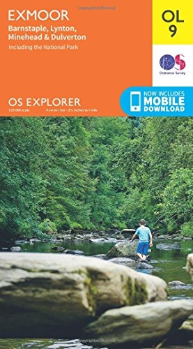
OS Explorer OL9 Exmoor (OS Explorer Map)
Ordnance Survey

OS Explorer OL51 Atholl (OS Explorer Map)
Ordnance Survey

OS Explorer OL46 The Trossachs (OS Explorer Map)
Ordnance Survey

OS Explorer OL45 The Cotswolds (OS Explorer Map)
Ordnance Survey

OS Explorer OL36 South Pembrokeshire (OS Explorer Map)
Ordnance Survey