
Ordnance Survey
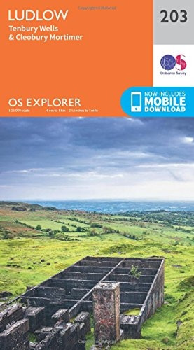
OS Explorer Map (203) Ludlow and Tenbury Wells
- ISBN 13:
- 9780319243961
- author:
- Ordnance Survey
- format:
- Map
- publisher:
- Ordnance Survey
- language:
- English
- Publication Year:
- 2015
- Pages:
- 1
- Dimensions:
- 24 x 4.4 x 13.7 cm
- Genre:
- Sports, Hobbies & Games, Fishing, Birdwatching & Other Outdoor Pursuits, Active Pursuits
- Condition:
- New
- Availability:
- Item usually sent within 2 working days

Description
The Ordnance Survey Explorer Map: Ludlow, Tenbury Wells and Cleobury Mortimer. Get the most out of your time in the countryside with this detailed map, covering Ludlow, Tenbury Wells and Cleobury Mortimer. The OS Explorer Map is the Ordnance Survey's most detailed folding map, recommended for outdoor activities such as walking, horse riding and off-road cycling. This map features a range of essential information, including rights of way, fences, permissive paths and bridleways, as well as youth hostels, pubs and visitor information. The map is available in a digital format, which can be downloaded to your smartphone or tablet. Simply scratch off the panel on the inside cover to reveal a code, and follow the easy steps to download your digital map.
Related Products
Related Products

OS Explorer OL9 Exmoor (OS Explorer Map)
Ordnance Survey

OS Explorer OL51 Atholl (OS Explorer Map)
Ordnance Survey

OS Explorer OL46 The Trossachs (OS Explorer Map)
Ordnance Survey

OS Explorer OL45 The Cotswolds (OS Explorer Map)
Ordnance Survey

OS Explorer Map (200) Llandrindod Wells and Elan Valley, Rhayader
Ordnance Survey