
Ordnance Survey
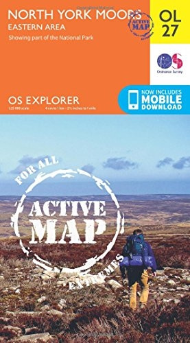
OS Explorer ACTIVE OL27 North York Moors - Eastern area (OS Explorer Map Active)
- ISBN 13:
- 9780319469453
- author:
- Ordnance Survey
- format:
- Map
- publisher:
- Ordnance Survey
- language:
- English
- Publication Year:
- 2015
- Pages:
- 1
- Dimensions:
- 24.2 x 2.5 x 14 cm
- Genre:
- Travel & Holiday, Countries & Regions, United Kingdom
- Condition:
- New
- Availability:
- Item usually sent within 2 working days

Description
The North York Moors - Eastern Area map is a detailed folding map ideal for outdoor activities in all weathers. It covers the eastern area of the North York Moors National Park, including the Cleveland Way, Scarborough, and Whitby. The map features a 1:25,000 scale, with 4 cm to 1 km and 2.5 inches to 1 mile scales, making it suitable for walking, horse riding, and off-road cycling. This map comes with a digital version, allowing you to download it to your smartphone or tablet for easy navigation. The digital version provides additional features, including route information and mapping tools. The map is a valuable resource for anyone planning to explore the eastern area of the North York Moors.
Related Products
Related Products

OS Explorer OL27 North York Moors - Eastern area (OS Explorer Map)
Ordnance Survey

OS Explorer ACTIVE OL26 North York Moors - Western area (OS Explorer Map Active)
Ordnance Survey

OS Explorer OL26 North York Moors - Western area (OS Explorer Map)
Ordnance Survey
OS Explorer Map Active (109) Bodmin Moor (OS Explorer Active Map)
Ordnance Survey

OS Explorer Map Active (282) Lincolnshire Wolds North (OS Explorer Active Map)
Ordnance Survey