
Taylor, Pamela
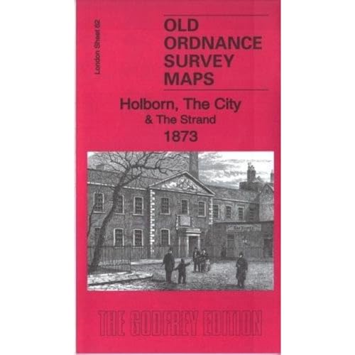
Holborn, the City & the Strand 1873: London Sheet 62.1 (Old Ordnance Survey Maps of London)
- ISBN 13:
- 9781787210509
- author:
- Taylor, Pamela
- format:
- Sheet map, folded
- publisher:
- Alan Godfrey Maps
- language:
- English
- Publication Year:
- 2017
- Dimensions:
- 21 x 12.3 x 0.6 centimetres (0.0
- Genre:
- History, General, ,
- Condition:
- New
- Availability:
- Item usually sent within 4 working days

Description
This 1873 map of Holborn, the City & the Strand shows the bustling streets and landmarks of London's heart. The map stretches from the British Museum eastward to Guildhall, and from Clerkenwell Road southward to Waterloo Bridge.
Features on this crowded map include Covent Garden, Lincoln's Inn Fields; Blackfriars, Ludgate Hill, Holborn Viaduct and Aldersgate stations; Southwark and Blackfriars Bridges; part of Bloomsbury; Fleet Street, The Strand, Somerset House, St Paul's Cathedral, The Temple, Smithfield, Cheapside and much more.
Alan Godfrey Maps has carefully reproduced this historic map to provide a unique insight into London's past. A must-have for anyone interested in the history of London or Ordnance Survey maps.
Related Products
Related Products

Bermondsey and Wapping 1872: London Sheet 077.1 (Old O.S. Maps of London)
Stephen Humphrey
Paisley 1858: Renfrewshire Sheet 12.02a (Old Ordnance Survey Maps of Renfrewshire)
Bell, Gilbert

Bolton (East) 1908: Lancashire Sheet 87.14 (Old Ordnance Survey Maps of Lancashire)
Godfrey, Alan

London National Park City: Greater London Area Urban Nature Map
Good, Urban

A Map of Medieval London: The City, Westminster and Southwark
Barron, Caroline