
Weekes, Jake
An Historical Map of Canterbury from medieval times to 1907 (Town & City Historical Maps)

- ISBN 13:
- 9780993469886
- author:
- Weekes, Jake
- format:
- Sheet map, folded
- publisher:
- The Historic Towns Trust
- language:
- English
- Publication Year:
- 2021
- Pages:
- 2
- Dimensions:
- 20.7 x 12.7 centimetres (0.12 kg
- Genre:
- Reference & Language, Atlases, History,
- Condition:
- New
- Availability:
- Item usually sent within 4 working days

Description
A full colour map of Canterbury in 1907 provides a unique insight into the city's rich history, from its Roman roots to its medieval past. The map shows the city as it appeared in the early 20th century, with its cathedral, walls, and castle, as well as its Roman theatre and forum. The map's cover features a short introduction to the city's history, while the reverse side offers a comprehensive gazetteer of Canterbury's main sites of interest. This includes information on medieval monasteries, the city's walls, and its castle, as well as its Roman theatre and forum. The map has been produced in collaboration with the Canterbury Archaeological Trust and Canterbury Christ Church University. This detailed historical map is a valuable resource for anyone interested in the history of Canterbury and its development over the centuries.
Related Products
Related Products

An Historical Map of Kingston Upon Hull - Historic City & Town Maps (Sheet map, folded)
Neave, David

Historical Ancient Britain (Historical Map Guide)
Ordnance Survey
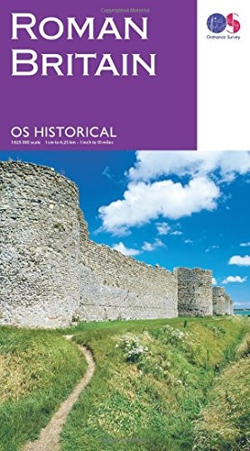
Historical Roman Britain (Historical Map Guide)
Ordnance Survey
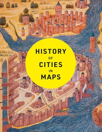
History of Cities in Maps: The Ultimate Visual Exploration of Human Civilisation Through 70 Captivating Historical Maps
Parker, Philip

Historic England: Sheffield: Unique Images from the Archives of Historic England (Historic England)
Rotherham, Professor Ian D.