
The English Lakes - North-Western Area: Keswick, Cockermouth & Wigton (OS Explorer)

- ISBN 13:
- 9780319263990
- format:
- Sheet map, folded
- publisher:
- Ordnance Survey
- language:
- English
- Publication Year:
- 2021
- Genre:
- Travel, Europe, Great Britain,
- Condition:
- New
- Availability:
- Item usually sent within 2 working days

Description
The Lake District OS Explorer map OL4 The English Lakes - North Western area: Keswick, Cockermouth & Wigton is a detailed map at 1:25,000 scale, ideal for outdoor activities such as walking, horse riding, and off-road cycling. The map shows roads, rights of way, permissive paths, and bridleways, as well as essential visitor information. A free digital version is included. This map covers a popular area of the Lake District National Park, featuring destinations like Derwent Water, Skiddaw, and The Cumbrian Way. The map provides an easy in-road to mountain climbing, with Skiddaw standing at 3,054 ft above sea level. For those planning to explore the area, this map offers essential information to help navigate the roads, paths, and visitor attractions.
Related Products
Related Products

The English Lakes North Western Area: Keswick, Cockermouth & Wigton (OS Explorer Active)

The English Lakes North-Eastern Area: Penrith, Patterdale & Caldbeck (OS Explorer)

The English Lakes North-Eastern Area: Penrith, Patterdale & Caldbeck (OS Explorer Active)

The English Lakes South-Western Area: Coniston, Ulverston & Barrow-in-Furness (OS Explorer)
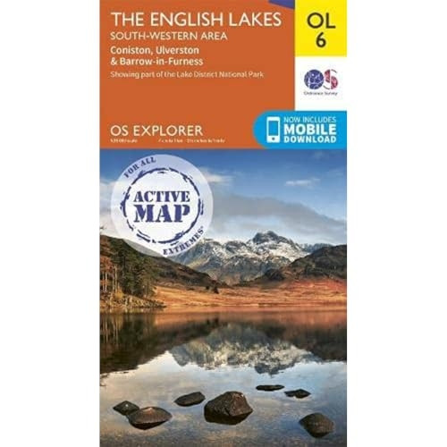
The English Lakes South-Western Area: Coniston, Ulverston & Barrow-in-Furness (OS Explorer Active)
N/A