
Ordnance Survey
OS Explorer Map (181) Chiltern Hills North

- ISBN 13:
- 9780319243749
- author:
- Ordnance Survey
- format:
- Map
- publisher:
- Ordnance Survey
- language:
- English
- Publication Year:
- 2015
- Pages:
- 1
- Dimensions:
- 24.1 x 3.5 x 13.5 cm
- Genre:
- Sports, Hobbies & Games, Fishing, Birdwatching & Other Outdoor Pursuits, Active Pursuits
- Condition:
- New
- Availability:
- Item usually sent within 2 working days

Description
The Chiltern Hills North OS Explorer Map is a detailed folding map ideal for outdoor activities such as walking, horse riding, and off-road cycling. The Ordnance Survey's most detailed map series provides complete GB coverage, including essential information for the great outdoors. This map features a range of routes, including the Icknield Way Ridgeway, North Buckinghamshire Way, and the Grand Union Canal Walk, as well as rights of way, fences, and permissive paths. The 1:25,000 scale map shows the area in great detail, with a scale of 4 cm to 1 km. A digital version of this map is available to download to your smartphone or tablet, simply scratch off the panel on the inside cover and follow the instructions to redeem your code.
Related Products
Related Products
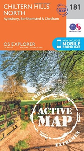
OS Explorer Map Active (181) Chiltern Hills North (OS Explorer Active Map)
Ordnance Survey

OS Explorer Map (171) Chiltern Hills West, Henley-on-Thames and Wallingford
Ordnance Survey
OS Explorer Map (370) Glenrothes North, Falkland and Lomond Hills
Ordnance Survey

OS Explorer Map Active (190) Malvern Hills and Bredon Hill (OS Explorer Active Map)
Ordnance Survey
