
Ordnance Survey
OS Explorer Map (144) Basingstoke, Alton and Whitchurch

- ISBN 13:
- 9780319243374
- author:
- Ordnance Survey
- format:
- Map
- publisher:
- Ordnance Survey
- language:
- English
- Publication Year:
- 2015
- Pages:
- 1
- Dimensions:
- 22.8 x 3.7 x 13.7 cm
- Genre:
- Sports, Hobbies & Games, Fishing, Birdwatching & Other Outdoor Pursuits, Active Pursuits
- Condition:
- New
- Availability:
- Item usually sent within 2 working days

Description
The Basingstoke, Alton and Whitchurch OS Explorer Map provides detailed coverage of the area, ideal for outdoor activities such as walking, horse riding, and off-road cycling. The map features a range of paths and routes, including the Wayfarer's Walk, Test Way, Hangers Way, and Three Castles Path. With a 1:25,000 scale, this map offers a high level of detail, including rights of way, fences, permissive paths, and bridleways. The map also includes information on youth hostels, pubs, and visitor information, making it a useful resource for anyone planning a trip to the area. A digital version of the map is available to download to your smartphone or tablet, and can be redeemed by scratching off the panel on the inside cover of the map.
Related Products
Related Products

OS Explorer Map (257) Crewe and Nantwich, Whitchurch and Tattenhall
Ordnance Survey
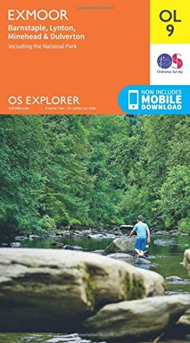
OS Explorer OL9 Exmoor (OS Explorer Map)
Ordnance Survey

OS Explorer OL51 Atholl (OS Explorer Map)
Ordnance Survey

OS Explorer OL45 The Cotswolds (OS Explorer Map)
Ordnance Survey

OS Explorer OL46 The Trossachs (OS Explorer Map)
Ordnance Survey