
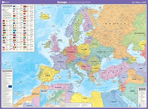
Europe: Lambert projection (OS Wall Map)
- ISBN 13:
- 9780319148457
- format:
- Sheet map, rolled
- publisher:
- Ordnance Survey
- language:
- English
- Publication Year:
- 2020
- Dimensions:
- 91.2 x 123.5 centimetres
- Genre:
- Science, Earth Sciences, Geography,
- Condition:
- New
- Availability:
- Item usually sent within 4 working days

Description
A large wall map of Europe, measuring 123.5cm (w) x 91.2cm (h), is available for use in a variety of settings. The map features the Lambert Azimuthal equal area projection and includes accurate representations of country shapes due to its scale. International boundaries, major cities, towns, physical relief, key roads and rivers, population, land area, currency, national flag, time zone, and more are all included. The map is supplied flat and rolled in a cardboard storage tube, making it easy to store and transport. A durable laminate coating ensures the map remains usable with dry-wipe pens. This wall map of Europe is ideal for students, businesses, schools, offices, or homes where a large, accurate map is required. Key features of the map include international boundaries, major cities, physical relief, and key infrastructure. The map is a useful tool for geography, travel, and education.
Related Products
Related Products

Wall Miller World (OS Wall Map)
Ordnance Survey

British Isles Communication (OS Wall Map)
Not Available

AA Road Map Western Europe (AA Road Map Europe Series)
Grace, Annie

Rail Map Europe: 3rd Edition
