
Ben Nevis: Fort William & Glen Coe (OS Landranger Map)

- ISBN 13:
- 9780319263983
- format:
- Sheet map, folded
- publisher:
- Ordnance Survey
- language:
- English
- Publication Year:
- 2021
- Genre:
- Travel, Europe, Great Britain,
- Condition:
- New
- Availability:
- Item usually sent within 2 working days

Description
The OS Landranger Map of Ben Nevis, Fort William & Glen Coe (041) provides detailed information for exploring the area. This map is part of the OS Landranger series, which covers Great Britain with 204 maps, ideal for day trips and short breaks. The map includes places of interest, tourist information, picnic areas, and camp sites, as well as Rights of Way information for England and Wales. The area around Ben Nevis is renowned for its challenging walks, rewarded by spectacular views. Glen Coe, with its dramatic scenery shaped by volcanic origins, is a highlight of the region. Other notable features include Loch Treig, Glen Roy, and Spean Bridge. The map also provides information on how to reach the summit of Ben Nevis, Britain's highest peak at 1,345m, which typically takes 7-9 hours to complete. The OS Landranger Map now includes a digital version, accessible through the OS smartphone app, OS Maps. This digital version complements the paper map, offering a convenient and portable way to navigate the area.
Related Products
Related Products

Ben Nevis: Fort William & Glen Coe (OS Landranger Active Map)
![Ben Nevis and Glen Coe (British Mountain Map): 1 [Folded Map]](https://cdn11.bigcommerce.com/s-hb1c2ixkfg/images/stencil/590x590/products/22675/24295/6d6b2c31-1822-4f7f-8201-c6fdffdfd19f__07046.1778074049.jpg?c=1 "Ben Nevis and Glen Coe (British Mountain Map): 1 [Folded Map]")
Ben Nevis and Glen Coe (British Mountain Map): 1 [Folded Map]
Ltd, Harvey Map Services
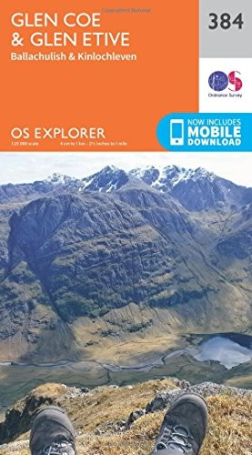
OS Explorer Map (384) Glen Coe
Ordnance Survey

Fort William & Glen Coe: 2017 (Pathfinder Guides)

OS Explorer Map (392) Ben Nevis and Fort William, The Mamores and The Grey Corries, Kinlochleven and Spean Bridge
Ordnance Survey