
Arrochar Alps: XT25 (Superwalker)
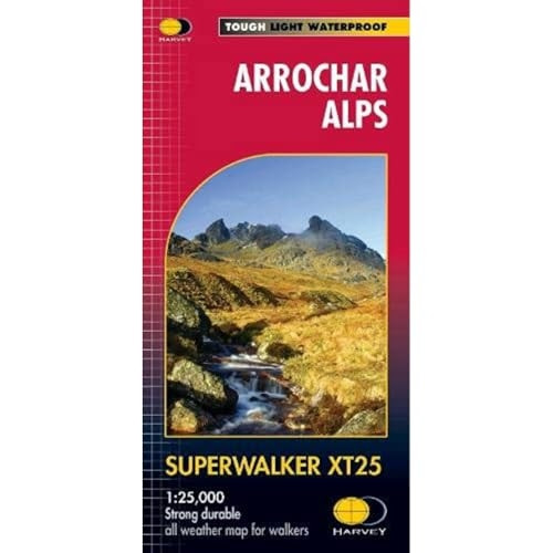
- ISBN 13:
- 9781851376063
- format:
- Sheet map, folded
- publisher:
- Harvey Map Services Ltd
- language:
- English
- Publication Year:
- 2017
- Dimensions:
- 2.2 x 15 x 15 centimeters (0.38
- Genre:
- Reference & Language, Atlases, Sports & Recreation,
- Condition:
- New
- Availability:
- Item usually sent within 2 working days

Description
Detailed map for hillwalkers of the western part of Loch Lomond and Trossachs National Park at 1:25,000 scale. This map includes five Munros, ten Corbetts, and thirteen Grahams, as well as Beinn Ime, Ben Vorlich, and the Cobbler (Ben Arthur). The map is tough, light, durable, and 100% waterproof, making it ideal for outdoor use. The Harvey Map Services Ltd publication opens directly to either side of the sheet, allowing you to easily plan your route. The map also features a re-fold design, making it convenient to store in your backpack or bag. With its original, genuine HARVEY mapping, this map is a reliable choice for hillwalkers and outdoor enthusiasts. Suitable for planning walks in the western part of Loch Lomond and Trossachs National Park, this map is an essential tool for anyone looking to explore the area's many hills and mountains.
Related Products
Related Products
Exmoor (Superwalker XT25)
Pomery, Owen D.

Ben Alder (Superwalker XT25)
Lake, Gina

Forest of Bowland (Superwalker XT25)
Hargreaves, Adam
Arrochar Alps: Ultramap (Ultramap)
England, Church of

Ben Nevis (Superwalker) (Superwalker)
Maps, Harvey